Stereoscopy of Topography with Anaglyph Technology

Anaglyph images of Topography for Geographical Education


Iwatahara Upland

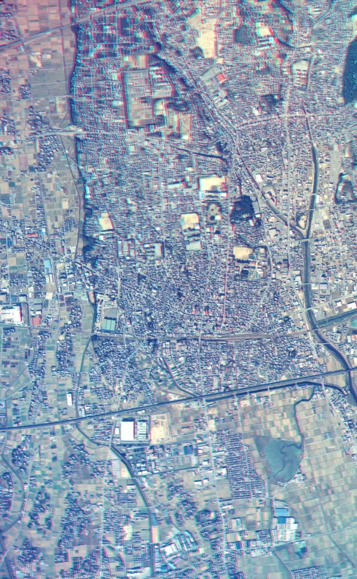
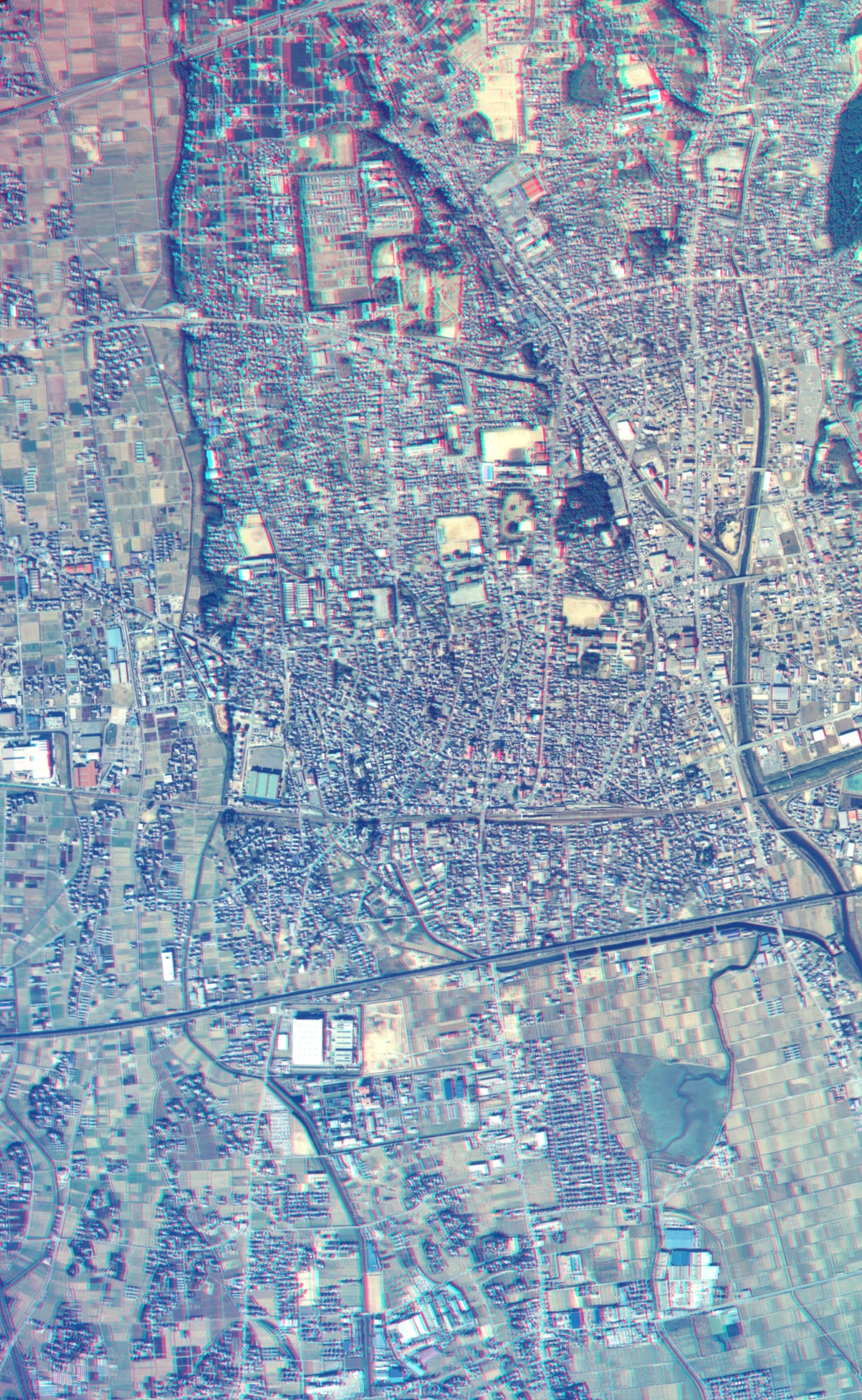
Aerial Photograph (Anaglyph)
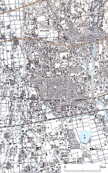
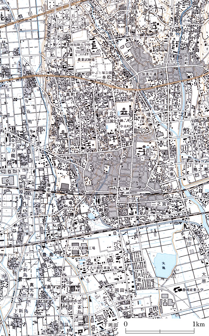
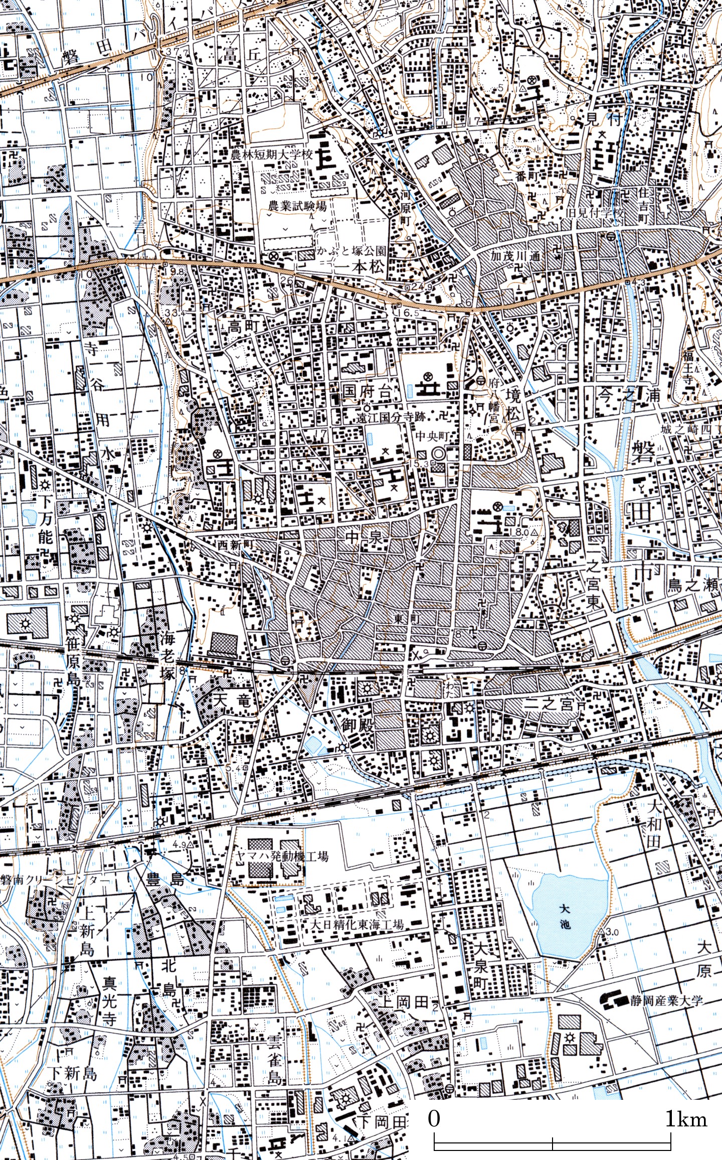
Corresponding Map
Laid-out sheet for print (Aerial Photograph and Map)
Notes
Aerial Photograph:
CCB-90-1X C9B-11,12 by GSI (November 1990)
Map:
1:25,000 Topographic Map "Iwata" by GSI (December 1999)
Location:
iwata_shi, Shizuoka, Central Honshu
Topic on Topography:
Pleistocene Upland, Alluvial Lowland, Former River Course
Other Notes:
Iwatahara Upland is located on the left (eastern) side of Tenryu River. The upland located on the other side is called Mikatahara.

Here are anaglyphs of some interesting topography in Japan. As teaching / studying materials for geography, you can freely download them, but use for other purpose except education is prohibited.

Service of some high-resolution images on the web are now suspended because of disk space of the server.

You need red-blue (red-cyan) glasses to see anaglyph images.

* NOTICE *
For your eyes, please do not continue to look at anaglyph for long time. When a teacher uses anaglyph in his class, he should cares about health of students.
Credits
Aerial photographs on this web site are reproduction of the aerial photographs taken by the Geographical Survey Institute, Japan with approval of the director general of GSI. (Approval Number: H17-so-fuku No.392)
Maps on this web site are reproduction of 1:25,000 Topographic Map published by the Geographical Survey Institute, Japan with approval of the director general of GSI. (Approval Number: H17-so-fuku No.392)

Back