
Courtesy of JAXA
|
Courtesy of JAXA |
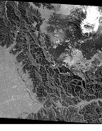
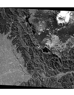
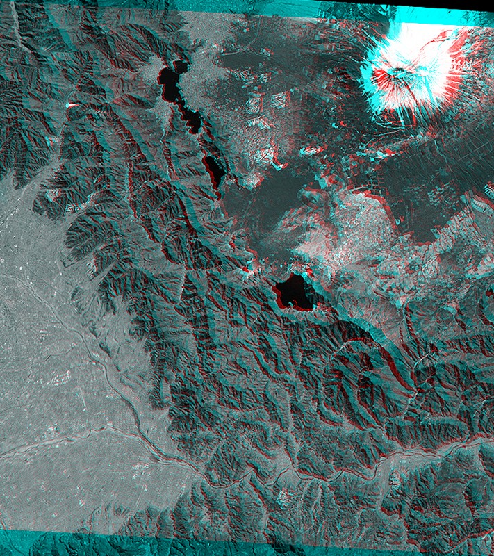
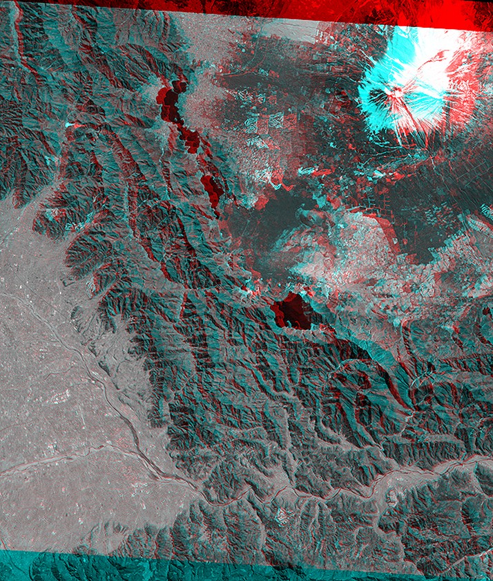
The Advanced Land Observing Satellite "Daichi", launched in January 2006 by the Japan Aerospace Exploration Agency (JAXA), has the Panchromatic Remote-sensing Instrument for Stereo Mapping (PRISM) onboard. The PRISM is an optical sensor for observing visible terrain areas with a 2.5-meter spatial resolution. It has three independent optical systems and images for nadir, forward and backward views are acquired at the same time to get three-dimensional terrain data. The Images can be used for stereoscopy of topography.
 |
 |
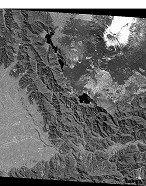 |
South part of Yamanashi (around Mt. Fuji), Central Honshu, Japan Courtesy of JAXA |
| Front view image | Nadir view image | Rear view image |
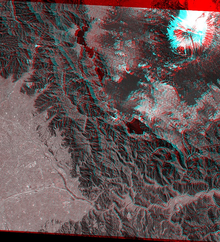
On this page, You can see anaglyphs from the image data provided by JAXA. For more information on the image data, please see JAXA's press release (on February 15, 2006).
|
(Click the image to enlarge it.) Courtesy of JAXA |
Anaglyph from Front view and Nadir view |
|
(Click the image to enlarge it.) Courtesy of JAXA |
Anaglyph from Nadir view and Rear view |
|
(Click the image to enlarge it.) Courtesy of JAXA |
Anaglyph from Front view and Rear view |
 You need red-blue (red-cyan) glasses to see anaglyph images.
For your eyes, please do not continue to look at anaglyph for long time.